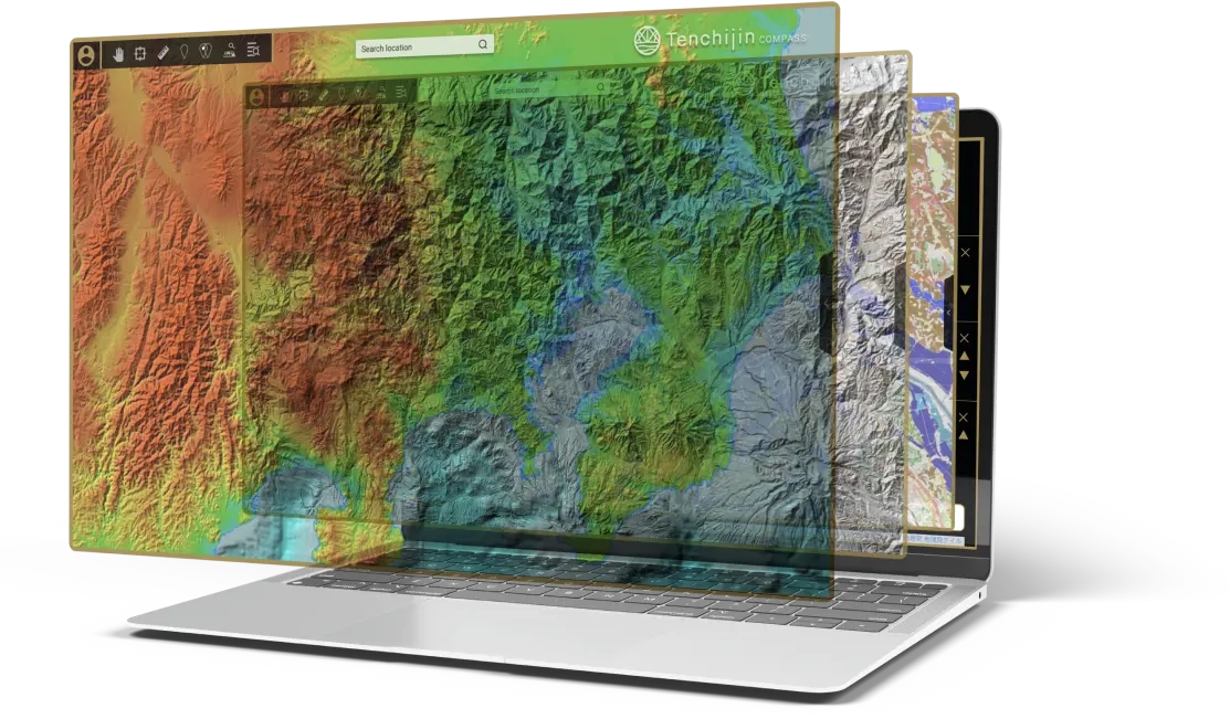
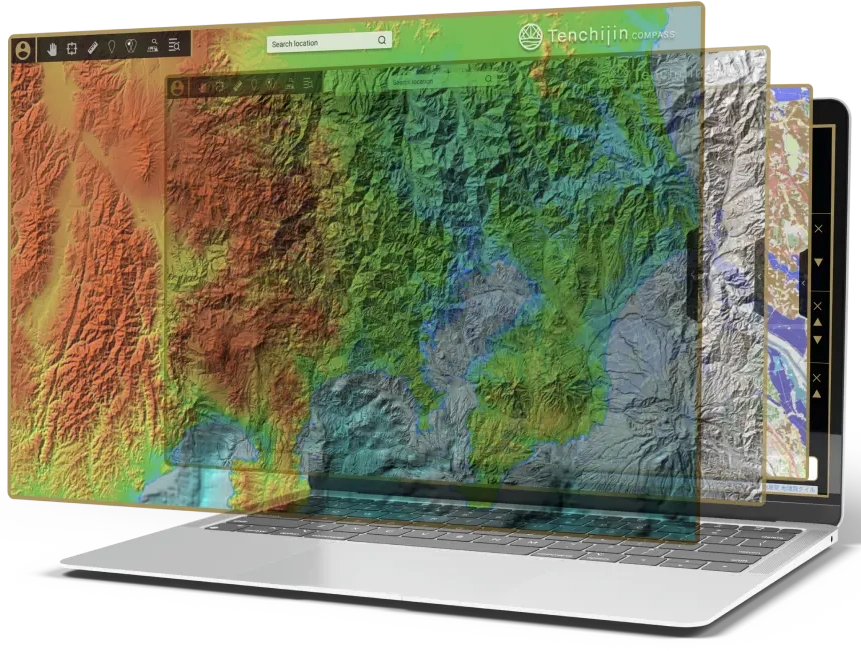
A digital globe that accelerates
corporate decision-making
with
insights from outer space.
Tenchijin Compass is an online GIS platform
that can solve global issues using space big data.


Using satellite data to analyse climate,
environment and land
to help customers
streamline and upgrade their business.


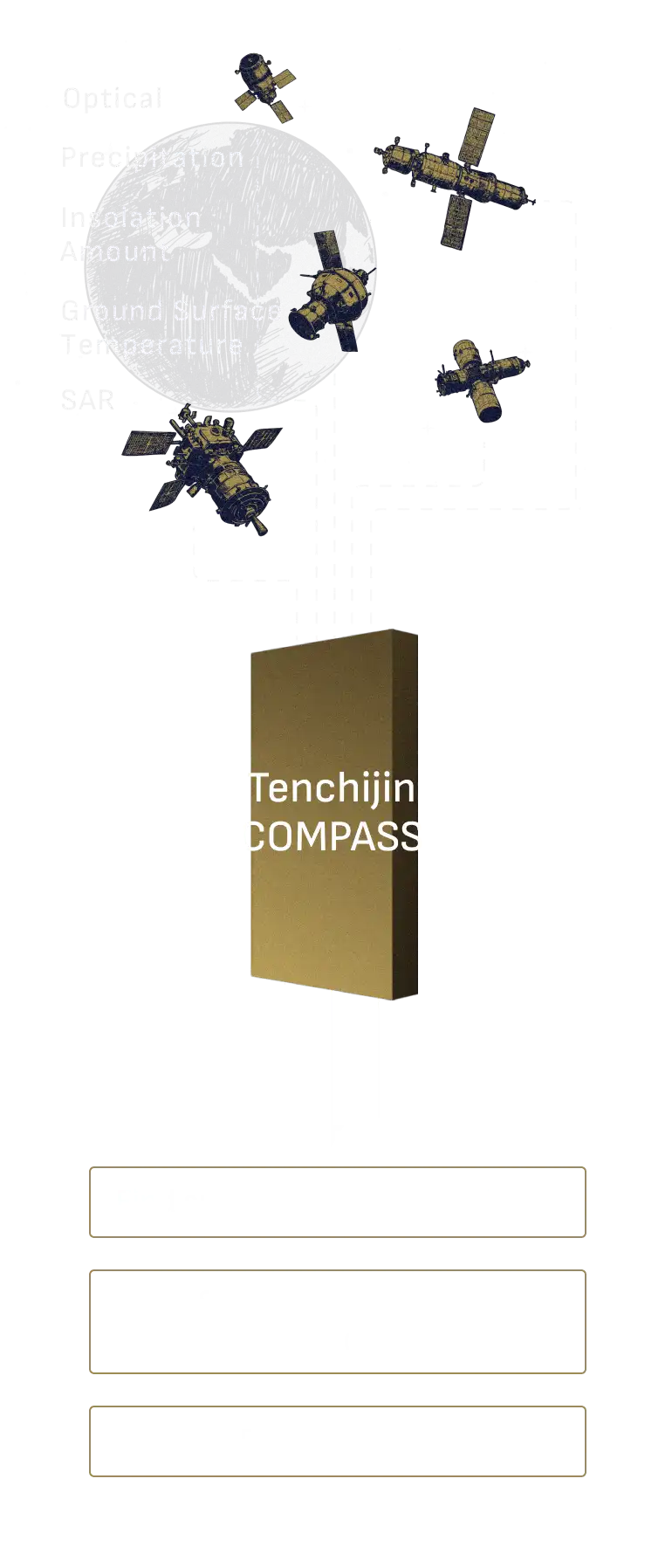
A compass that facilitates decision-making
and leads to optimal decisions and problem solving.A platform that helps business partners navigate decision-making by utilizing vast amounts of "smart big data".
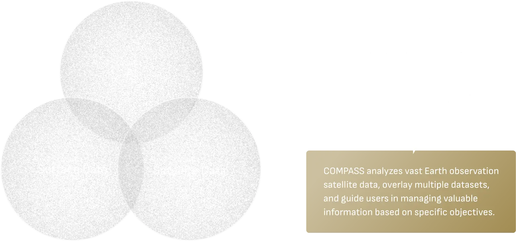
Main Functions of Tenchijin COMPASS
-
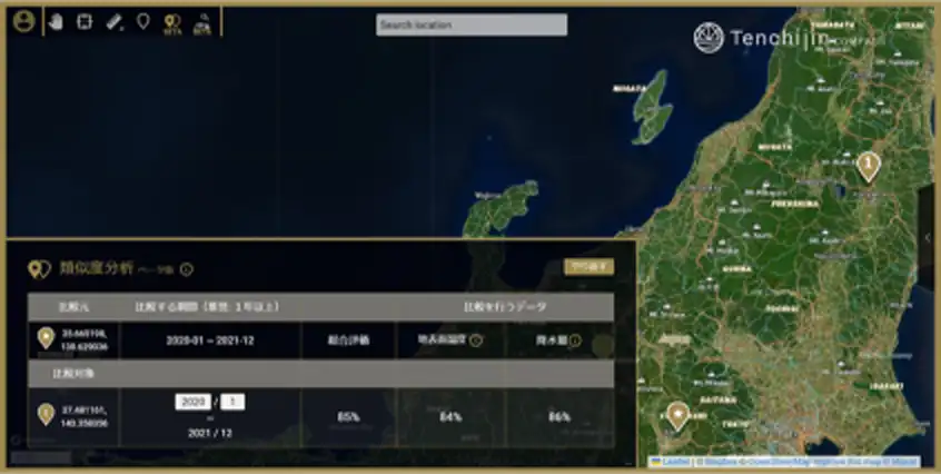
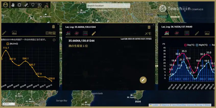
Similarity Analysis
Evaluate similarity of two sites regarding environments.
- Location Search
- Comparison
-
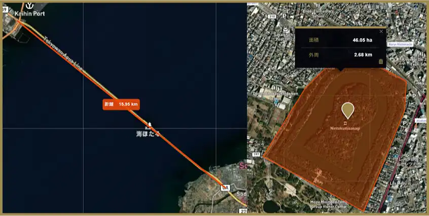
Measurement
Quickly measure the distance between two locations, area size, etc.
- Business Efficiency
-
Memo and Printing
Place pins on the map and add notes to share with the team. PDF export is also available.
- Business Efficiency
Infrastructure
Tenchijin COMPASS (Leakage Risk Assessment and Management System)
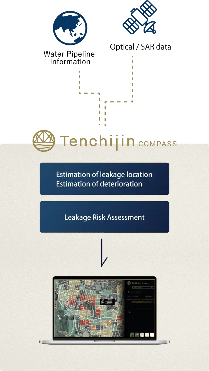
Minimize accidents and optimize maintenance cost by predicting risks with smart big data.
Leakages in water pipes occur because of internal and external factors. Internal factors include pipe thickness decrease and pressure shocks. External factors include temperatures and land motions. When the former are shared by the customer and protected, the latter are directly measured by satellites.
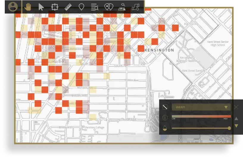



- ・ Customized UI for each water utility
- ・ Cloud system for quick information sharing with related parties
- ・ Provided at 25% the cost of similar services from other companies
- ・ Continued use of the service increases learning data and improves the accuracy of AI predictions
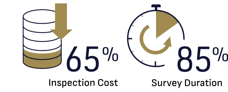
In addition, the expected benefits of this solution include up to 65% reduction in inspection costs and up to 85% reduction in the investigation period through projects with local authorities conducted in FY2022 with the Japanese Cabinet Office.
Renewable Energy
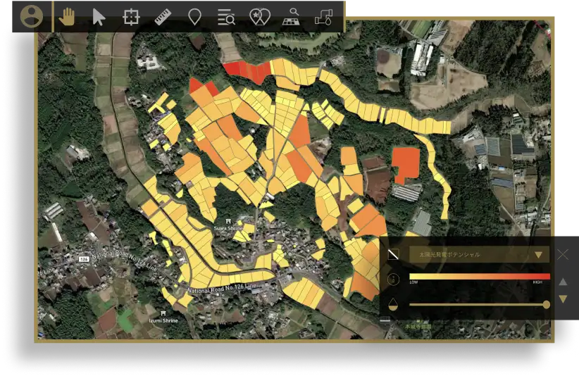
Tenchijin COMPASSAnalysis Tool for Optimal Wind Power Farms
Data-driven search for energy infrastructure construction sites and speed up decision-making, such as streamlining the installation process.
Compass searches for the most suitable sites by analysing for topography, precipitation and other elements with satellite data and its own AI algorithm. It supports speedy decision making for profitability, improving ESG scores and contributing to the SDGs.
Carbon Offset
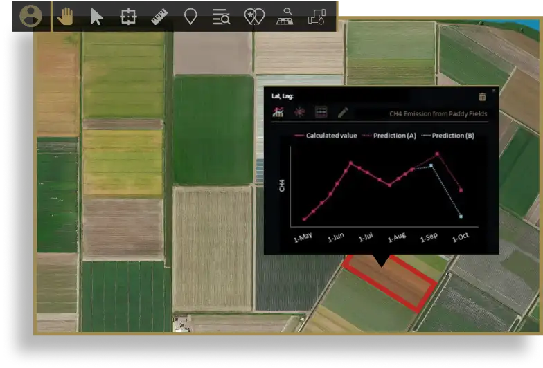
Tenchijin COMPASSMethodology to Estimate Greenhouse Gas Emissions from Rice Paddies
Support the acquisition and assessment of carbon credits by calculating greenhouse gas emissions and savings through space big data,
Tenchijin has successfully developed a methodology to estimate methane emissions from paddy fields. The methodology, for which Tenchijin has applied for a patent, is a unique methodology that combines Tenchijin's strengths in satellite data, AI analysis and expertise in paddy farming. The methodology excels in understanding the 'history of water management', which is a major factor in methane emissions, by utilising optical satellite imagery, SAR imagery and climate data acquired from satellites.
We are thinking of, for example, providing data and services to support the issuance of carbon credits by measuring and monitoring the paddy methane that small rice farmers and others reduce (and have reduced), in collaboration with business partners.
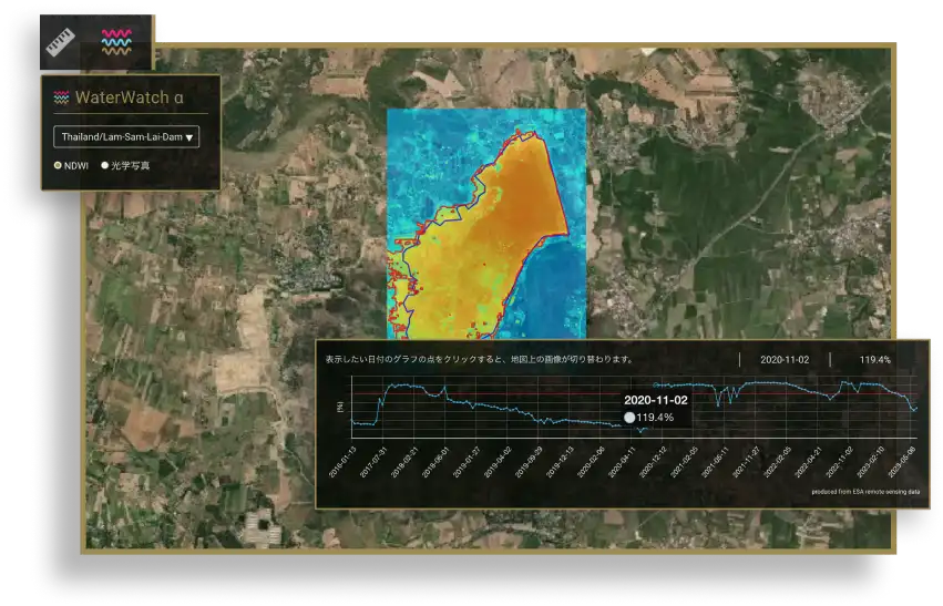
Tenchijin COMPASSWaterWatch α
WebGIS service to analyze dams, rivers, lakes and reservoirs by monitoring water bodies.
This service can display changes in water bodies over time for a specified area. By selecting on the plot of the displayed graph, it displays the date, water area percentage and an image of the water body area with little to no time lag. Users can determine how much it differs from the reference water body area.
It is free and can be used without registering an account.
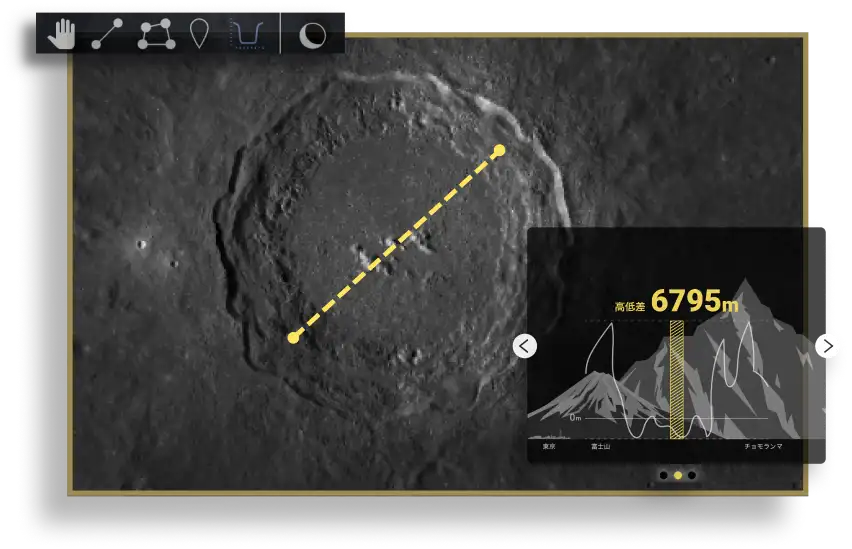
Tenchijin COMPASS MOON
Land evaluation service that enables the analysis of the moon's surface.
This service is the lunar version of Tenchijin COMPASS, a comprehensive land evaluation service that analyzes, visualizes, and provides data based on various data, including smart data from Earth observation satellites. Users can measure the distance and areas of the moon's surface as well as the size of craters. It is free-to-use without creating an account.
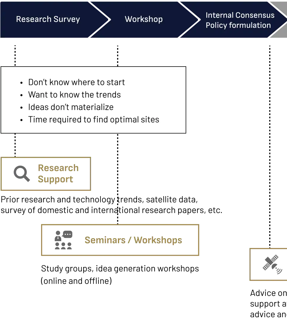
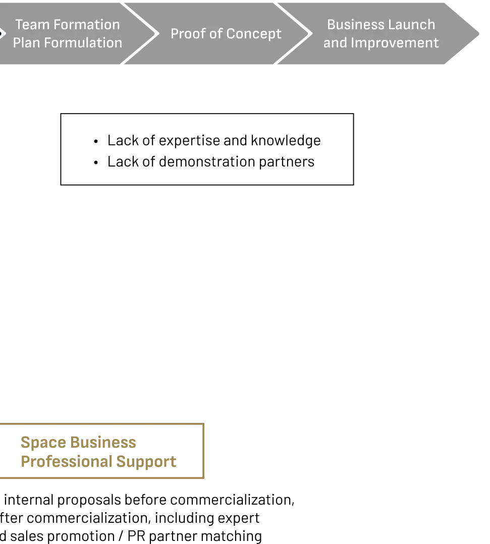
Tenchijin Project Consulting
Project accompaniment service, holding workshops to support research studies and business development using space big data.


